
Jackson: A well-spent summer of drones and mud

Who am I and what have I been up to?
Hi, my name is Jackson! In June I completed my undergrad in marine biology at the University of St Andrews. During my final semester and into the summer, I worked with Julie on a project exploring the applications of how unmanned aerial vehicles (UAVs), better known as drones, can be used to map estuaries. In particular, we were keen to discover how they could help to quantify the biomass and productivity of common estuarine primary producers on mudflats.
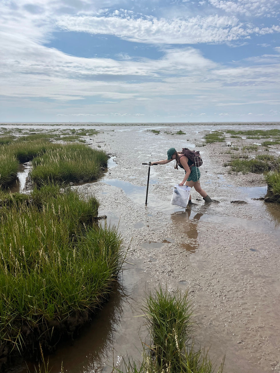
Our summer field campaign took us to the mudflats at Tayport, on the Tay Estuary. For most of July and August, Julie and I could be found out on the mud flying the drone, collecting samples, and soaking up the sunshine whenever the weather permitted!

How is the drone used?
Drones have myriad uses across many industries and fields of study, but for our project their real boon is how quickly and accurately they can collect aerial imagery and spatial data. On each flight, the drone took hundreds of overlapping photos of the mudflat, which we'll be stitching together into an orthomosaic. This is a single map of the whole focal area that has been geometrically corrected, meaning the distortions and odd perspectives you'd get in individual photos are ironed out. We also conducted our flights with real-time kinematic (RTK) positioning, which will let us pin every part of the map to precise geographic coordinates.

So why go to all this trouble? The organisms we're interested in can be easy to overlook. Microphytobenthic (MPB) biofilms are thin layers of microalgae living on the surface of the mud, and mat-forming seaweeds such as Ulva. Both are patchy, change quickly, and cover large areas, which makes them tricky to study. Satellite images are often too coarse to pick them out, while telescopic surveys only get you so far before the viewing angle becomes a problem. A drone, on the other hand, can cover the mudflat in finer detail and at a relatively low cost.

Our drone was equipped with a multispectral camera, which records both wavelengths of light visible and invisible to our eyes, recording each as its own image rather than blending them into a single colour photo. Now that the fieldwork is wrapped up, these images will be used to calculate indices like the Normalised Difference Vegetation Index (NDVI), which indicates how much healthy, photosynthesising material is present. With the aid of machine learning, we hope to be able to distinguish biofilms from seaweed mats and other points of interest on the orthomosaic. We'll also link our maps to measurements of carbon dioxide flux taken on the mudflat itself, allowing us to scale up from a handful of sampling spots to the wider mudflat. When combined, this should give us a much clearer picture of how much carbon these primary producers are taking up and lay the groundwork for understanding how that might shift as nutrient inputs and climate change alter their habitat.

In addition to these understandings, we also hope that the work conducted this summer will produce a replicable, concise, and efficient workflow that could be conducted beyond the Tay estuary!
Looking back on the summer
I may be leaving St Andrews for Glasgow, but my time working on this project will remain foundational to my research pursuits moving forward. Besides my undergrad project, this was my first real taste of working on a research project and I feel it has made me far more confident in my abilities. It will also be incredibly rewarding to see the long hours spent in the field pay off as we begin to piece our map together. I greatly enjoyed getting to know everyone in the Hope Lab better over the summer. I am also very grateful to have been offered this opportunity by Julie, and I look forward to our continued collaboration!
Want to get in touch? Connect with me on LinkedIn.


Comments